Aerial
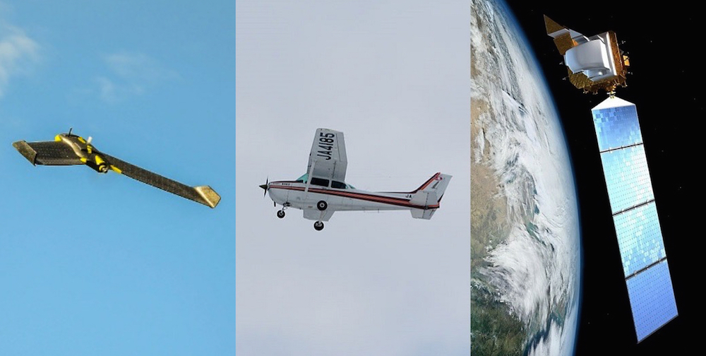
An IA PDA is the only type that can be conducted by air. By air, it is meant, collecting aerial imagery from a plane in order to analyze the imagery upon landing. Believe it or not, conducting aerial PDAs can be very accurate and quick to conduct. If done correctly, aerial assessments can be completed within 24 hours of an event and cost less than the alternative methods.

There are currently two ways to conduct an aerial PDA, by plane or with an unmanned aerial vehicle (UAV). Both have advantages but due to FAA restrictions in many countries, including the US, it can be next to impossible to legally deploy a UAV in a disaster affected area.
The main reason aerial imagery provides an advantage over other collection methods like ground and satellite is because it is capable of delivering oblique (45 degree) imagery of structures. If collected correctly, oblique imagery can provide analyst with several images of each structure and it becomes possible to accurately assess the structure accurately.
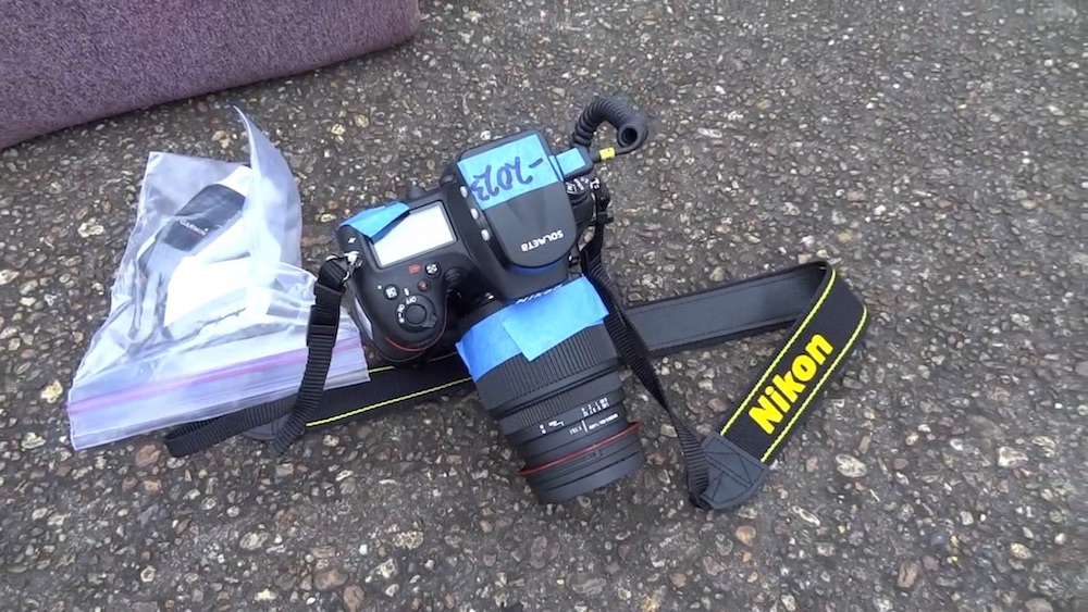
The current and standard method of capturing oblique imagery from a Cessna sized plane is using a DSLR Camera. Civil Air Patrol uses Canon and Nikon DSLR cameras and stations a photographer in the back seat with a window open. A high zoom lens in not needed, and a wide angle lens is better. When a photographer is manually collecting imagery it is important to maintain a wide zoom and NOT zoom in on different structures or areas.

The key to making the photos usable by analyst is assuring each photo is georeferenced and includes a direction heading. This becomes very important for analyst to discern what structure it was capturing. There is more details on this in the TCPED Process section. To accomplish this, it is important to have either a wired geotagger, with electronic compass, for heading information or a data logger that sits on the dashboard. Just make sure whatever is used has an electronic compass. The heading information helps identify which side of the plane the image was captured.
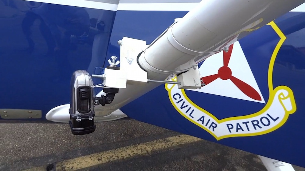
As off the shelf GPS cameras advance, it is possible to collect both oblique images and nadir (vertical) imagery on the same flight. By mounting two GPS camera to the strut of the plane, one at an oblique angle and nadir angle, it is possible to collect both on the same flight. In tests, the Garmin Virb model of GPS cameras performs best under high altitudes flight environments. It is ideal to fly no higher than 2,000 AGL Feet (609 Meters) in order to collect usable imagery. The below images were collected at 1,000 AGL Ft. Exampls in the Collection chapter.

Civil Air Patrol
Following a disaster, the lowest cost provider of aerial imagery, in the United States, is Civil Air Patrol (www.gocivilairpatrol.com). Civil Air Patrol (CAP) is a volunteer branch of the Air Force and has over 550 aircraft stationed throughout all fifty states, ready to deploy following a disaster. Their pilots are all highly trained and their aircraft are well maintained. While not documented anywhere, but through my experience, they can often be over any location in the US within a couple of hours of being requested. The best part about deploying CAP is the cost, which runs around $150 an hour. This cost includes among other things, an experienced pilot, fuel, insurance, and a trained photographer.
Because CAP is a non-profit charter and funded by the US Air Force they can only be deployed in a disaster event. Local municipalities, county and state emergency managers can all deploy CAP after an event. It is highly recommended that payment agreements and relationships be established before an event.
John Desmarais ([email protected]), Director of Operations, is the best person to speak with around establishing aerial support capabilities.
UAV
There are lot of organizations willing to deploy UAVs and donate imagery following a disaster. The difficult part is traveling to the location with the UAV, gaining permission by local emergency managers to fly over the area (which usually has a no fly restriction in place) and acquiring the necessary Certificates of Waiver or Authorization (COA) from the FAA.

Realistically, Fixed Wing UAVs are the only type of UAV that can maintain long enough flight time and has the square mile coverage required to conduct a wide spread damage assessment. While the technology is advancing, the quadcopter UAV does not come close to the airtime and sq mi coverage required to conduct a comprehensive PDA following a tornado, flood, fire, earthquake or hurricane. The only time when quadcopter UAVs can be valuable is in a small localized event, like a landslide or neighborhood fire.
Summary
Considering the cost of using CAP and the time saved