The Value of Field Data
While most organizations collect some form of data in the field — whether it's asset inventory, sales meetings, or facility inspections — many don't make effective use of that data throughout their organizations. Data captured in the field is some of the most valuable business information at a company's disposal. It reflects what's happening at the point of transaction or the real picture of what's going on at the job site.
Historically, it's been a challenge to maintain close ties between a field service operation's ground-level personnel and upper level management. Pen and paper data capture processes using triplicate forms meant that results couldn't be delivered to decision makers without first going through a time-consuming process of transcription, cleanup, aggregation, and report-building. Often, by the time the results reach into the higher echelons, it's been months since the information was collected.
In all cases, more timely flow of intelligence from the field is an enormous asset to an organization, allowing managers to make better decisions with up-to-the-minute answers to their questions.
Field data collection is one of the best ways to gain insights into the facts of an operation:
- What condition are our assets in?
- Have we performed safety audits on all our job sites?
- Are we in compliance at all our facilities?
- Which work orders are completed and which aren't?
Whether they're inspectors, auditors, technicians, or salespeople, empowering your field staff with tools to contribute information they collect into an institutional knowledge base can benefit everyone.
With a well-planned and designed field data collection process, you'll be able to get rapid feedback from the field to save money, stay in compliance, and create more value from your field operations investments throughout your organization.
Adding the Spatial Dimension
From planning where to put a new business to maximize traffic, to plotting the shortest route for a delivery schedule, knowing the world around you is crucial to making better business decisions.
Geographers use a variety of tools to collect, process, and analyze their data to create maps, charts, and graphs that empower decision makers to make more informed choices. Collectively known as GIS, these tools make use of spatial data, or data collected with a spatial component, in order to plot information on maps. Collecting this data can be time-consuming, but has massive value for an organization.

The boom in location data available today has expanded the market for geographic data and tools. GIS software gives analysts the ability to use location data and spatial relationships to derive novel information. For many businesses, maintaining an accurate inventory is crucial for knowing what items are in stock, but that same data can be used in ways that make the business even more efficient.
For example, if one product sells more frequently in some locations but not in others, spatially tagged sales data can inform management to stock more in those locations, in order to maximize the number of products sold and reduce wasted shelf space. For decades data analysis has focused on the "what" and "why" of data, but the spatial component adds more context by including the "where".
For a transportation company, having accurate and timely knowledge of which roads are blocked, the current weather conditions in an area, or the shortest path to a delivery can be critical. Mapping routes and alternate courses of travel can save hours of time and gallons of fuel, which add up to substantial cost savings in a short period of time.

For those fighting pandemics, knowing where ill people reside, and where they've traveled can help researchers track down the cause or source of a pathogen, saving lives and preventing future outbreaks. In fact, this approach is the same used by epidemiologist John Snow, who identified the pump that was causing London's Cholera outbreak in 1854, by mapping the location of Cholera victims. By using this location data, he identified the source of the outbreak as a single water pump on Broad Street.
The collection and analysis of field data can help businesses, governments, and organizations make better use of resources. By better understanding the world around them, decision makers can make better choices. The real value of spatial information isn't just in the knowledge of the world around you, it's what you can do with that knowledge that makes it so valuable and powerful.
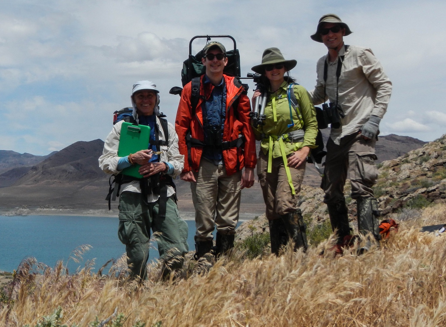
1. Wildlife biologists, resized https://www.flickr.com/photos/usgs_uas_project_office/19472017876/ ↩
2. Helping people injured https://www.flickr.com/photos/dfid/17204679049/ ↩